Laboratory of Geographic Information Systems LASIG
Geographical information plays an important role in the analysis of the structuring processes of the territory and of the landscape.
Introduction
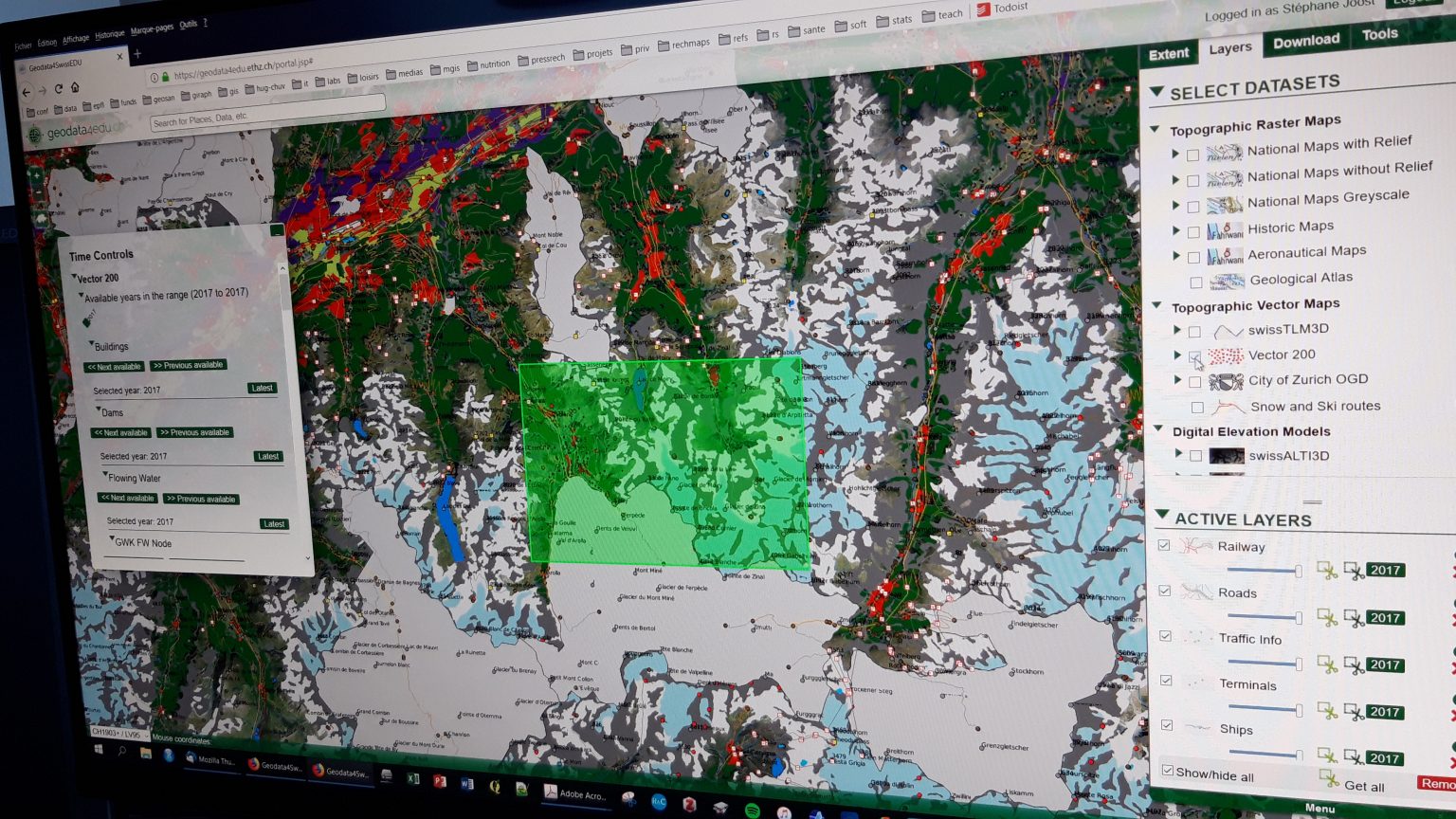
Research at LASIG covers a large range of issues, all relevant to spatial data infrastructures, spatial analysis, and spatial decision support. Recent developments have tackled multi-scale digital elevation models, data-scarce modeling methods for air-pollution modeling, and remote-sensing methods (LIDAR and optical imagery) for forestry management.
A special focus has been dedicated to the emerging field of landscape genomics, dealing with advanced algorithms to investigate correlations between environmental variables and genes under selection. These novel correlative approaches are also relevant to elicit space-related public health issues.